



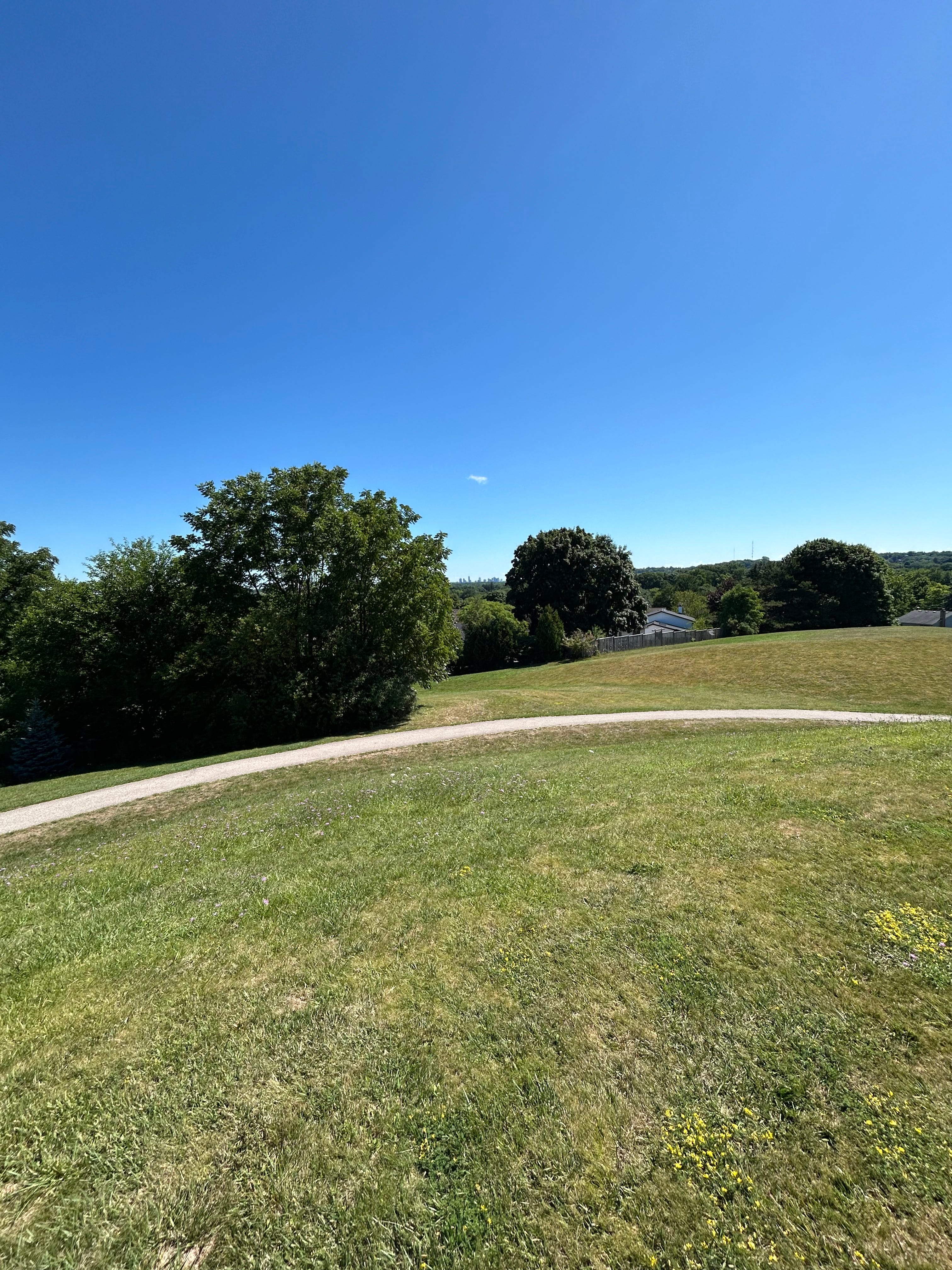
Welcome to Ward 9
Cedric writes
We are continuing our journey through London’s wards in this summer series, and after three weeks of being elsewhere, we are back in the west end. It is an interesting coincidence that for our 9th instalment in this series, we are profiling Ward 9.
Every community in Ward 9 is located along London’s west end, which include Byron, Lambeth, Riverbend, and Talbot Village, and rural areas like Woodhull, Sharon Creek, and Tempo.
You may be familiar with this ward if you’ve gone to Springbank Park or Storybook Gardens, which I’m sure all Londoners have visited at least once in their life. Maybe you’ve slalomed down the hills of Boler Mountain, our little Switzerland on Griffith Street. Or you’ve bought fruit from roadside stands or markets like Joyce Farms or Thomas Brothers. There are restaurants in the area that require opening the wallet a little bit wider. And if your kids play baseball at the Optimist Sports Park, that’s the Ward 9 experience.
Owing to the rural areas, this ward is London’s second-largest by area, and a distant second at that. The size of Ward 9 is just over half of the area of Ward 14, London’s largest ward. The rural areas, including Lambeth, were annexed in 1993. This took place 32 years after Byron and the surrounding area was annexed into London.
The transit situation in this ward is not great. This ward contains the terminus of each bus route that touches it, making it difficult to travel within the west end of the city. Three of these four bus routes run every day of the year. Route 28, which travels between Lambeth and White Oaks Mall, is the worst of transit in the southwest. Beginning service in 2010, it was the second attempt at bringing buses into Lambeth since annexation. It has faced termination at least once since then and a lot of tinkering with its routing.
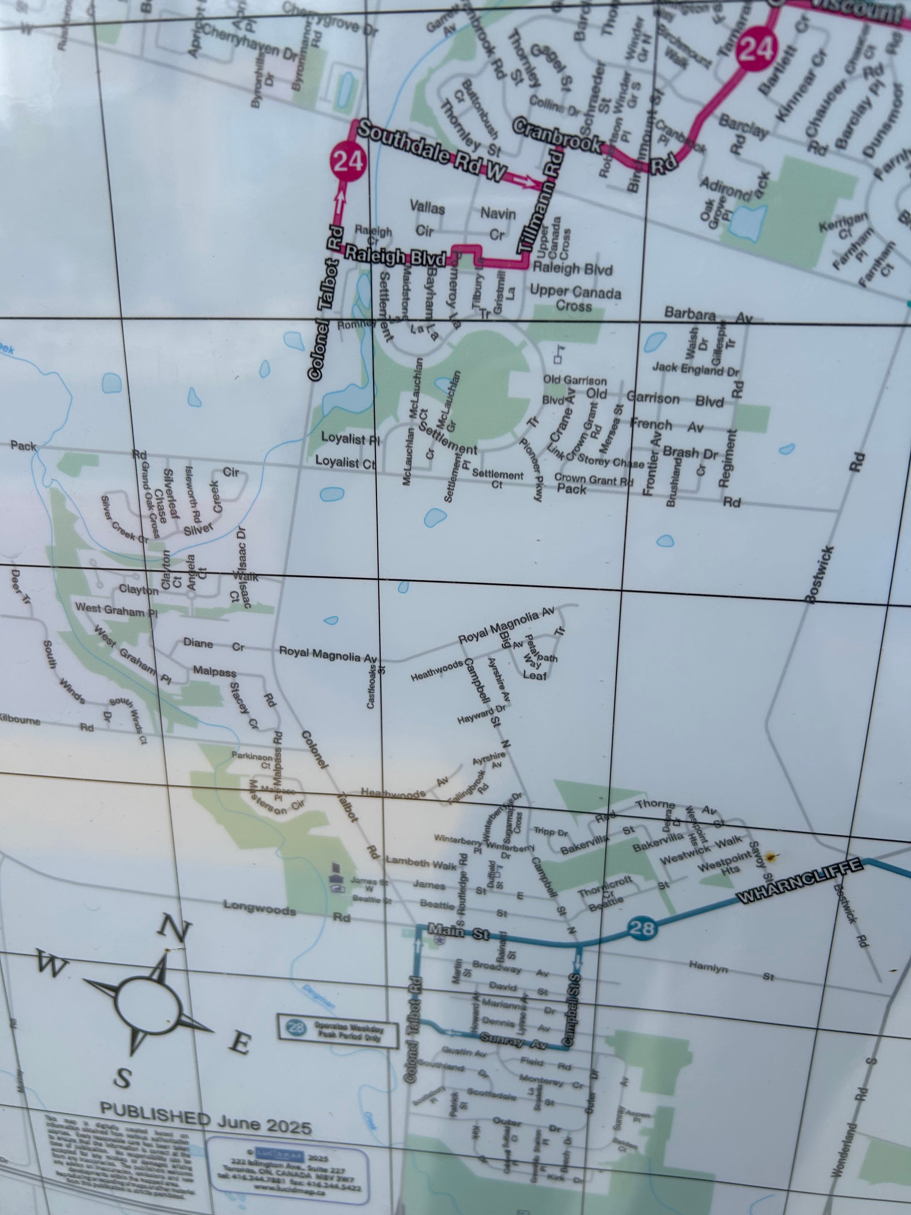
Cycling is a much better experience, on the other hand. The Thames Valley Parkway has been my way to travel from the core to the west end of London, and a network of protected bike lanes along Southdale, Colonel Talbot (and soon, Boler Road!) make things a bit easier.
When Lambeth was brought into London, it did not adjoin any of London’s established neighbourhoods. Byron is separated by Reservoir Hill, the Byron Gravel Pit, and the Thames River. The areas in this part of London felt very isolated, so it felt like a treat to go there, like I was outside of the city. It felt special. When I worked at a Westmount-area Starbucks several years ago, it was months after that location had moved from Byron. Many of my coworkers had roots in the Byron community, and that is how I started to get acquainted with the area and the ward at large. I constantly used “I work in the area” as my answer to questions on how I found a local business to patronize.
Demographically, it is one of the most affluent wards in the city. When it comes to median household incomes, this ward contains three of London’s five highest-income districts in Woodhull, Riverbend, and Lambeth. Talbot Village has the highest proportion of visible minorities in the ward, far and away compared to the rest of the districts.
The area is currently facing a lot of growing pains found all over West London. Throughout my travels along this part of the city, I noticed a lot of planning applications on the sides of many roads. It feels almost like it could be taken as a compliment: people want to live in West London.
In this ward, it’s an interesting mix of people and places and things. There are longtime residents who have previously called the Town of Westminster home, who either were annexed in 1993 or as far back as 1961. There are a few people out there who still identify as being from Lambeth or Byron, and not London. There are constituents who have moved to the area from elsewhere in London. How does this vast array of people live together?
That’s our challenge this summer: the story of London Ontario in 14 wards. Join us. We’re going by bike and by car, and we’re inviting Londoners into the conversation.
Cedric says:
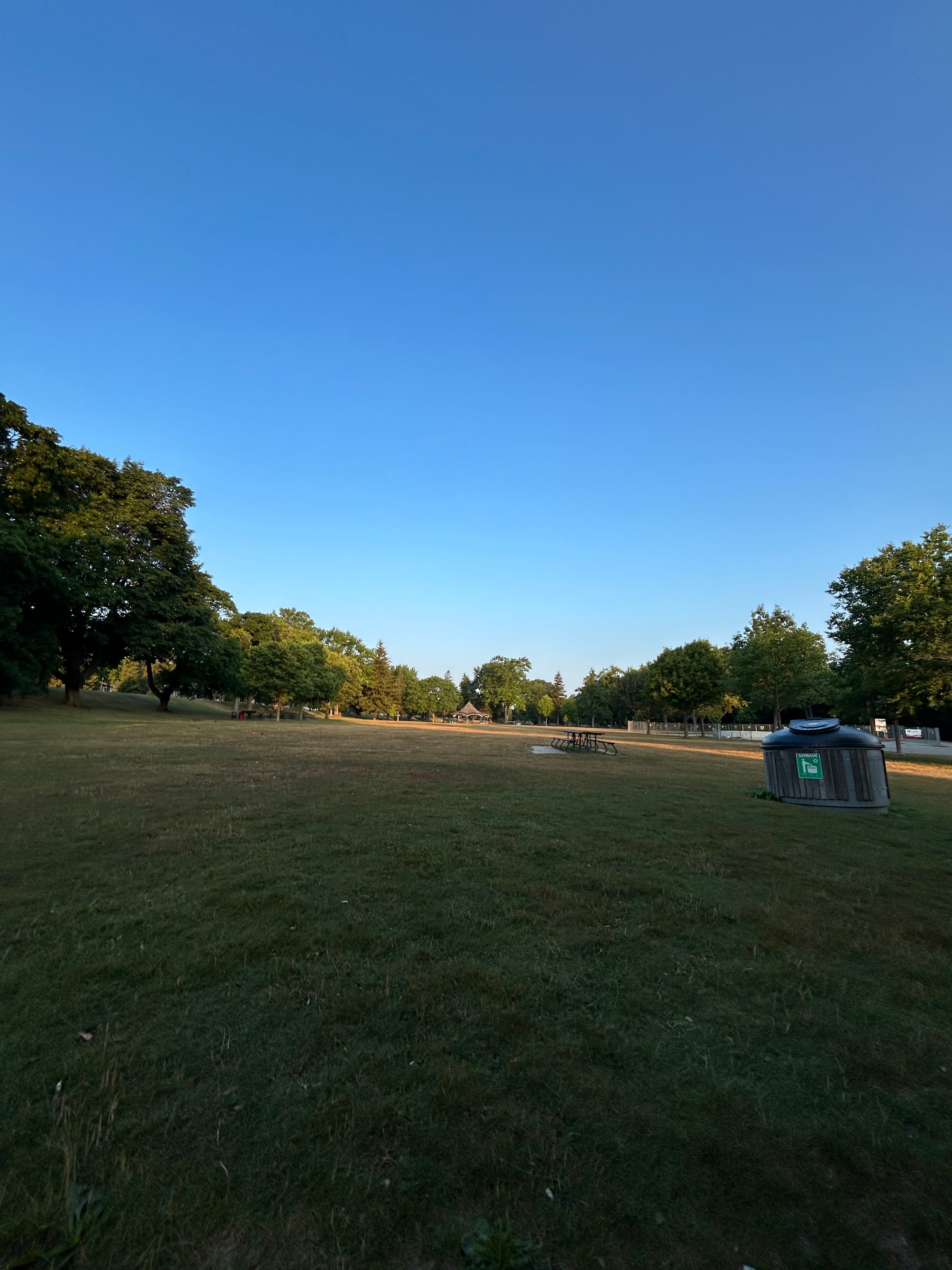
Hey all, it’s your city editor here, excited to bring you a scintillating instalment of the profiles of London’s wards. We are in the greatest civic asset of Ward 9, which is Springbank Park. In London’s second-largest ward, we endeavour to tell you about every corner of London’s west end.
Mike says:
This might be my favourite ward yet. I recognize it - this is all about traditional neighbourhood politics and the needs of ordinary folks who have been here for a while, sometimes generations. Ward 9 is part of Old London, where people have long memories, and they know their area and love it very much.
Every week, we’re having a chat in the ward itself. Here are our musings together in Ward 9, where we enjoyed encountering the geese in Springbank Park.
Now with added attachment! Apologies for the omission in the first version of this article.
Also, here’s a link to the Larry Cornies audio blog mentioned in this podcast. It’s entitled Wonderland.
Part 1: Ward 9 - the Basics
Ward 9 - Woodhull, Riverbend, Byron, Talbot, Sharon Creek, Lambeth, Tempo
Population - 39,786


Cedric writes
Ward 9 has always been London’s west-end ward south of the Thames River, having been created in 2006 from the former Ward 7. The ward has always contained Byron, Lambeth, and Riverbend.
This ward for the 2026 municipal election will see about two boundary adjustments. With Ward 14 taking in all of London south of Highway 401, Ward 9 will no longer border Elgin County for the first time. It is also taking in a slightly larger portion of Springbank Park, but nobody lives on the north side of that part of Springbank Park except for geese.
Part 2: Around the ward
Riverbend
Cedric writes
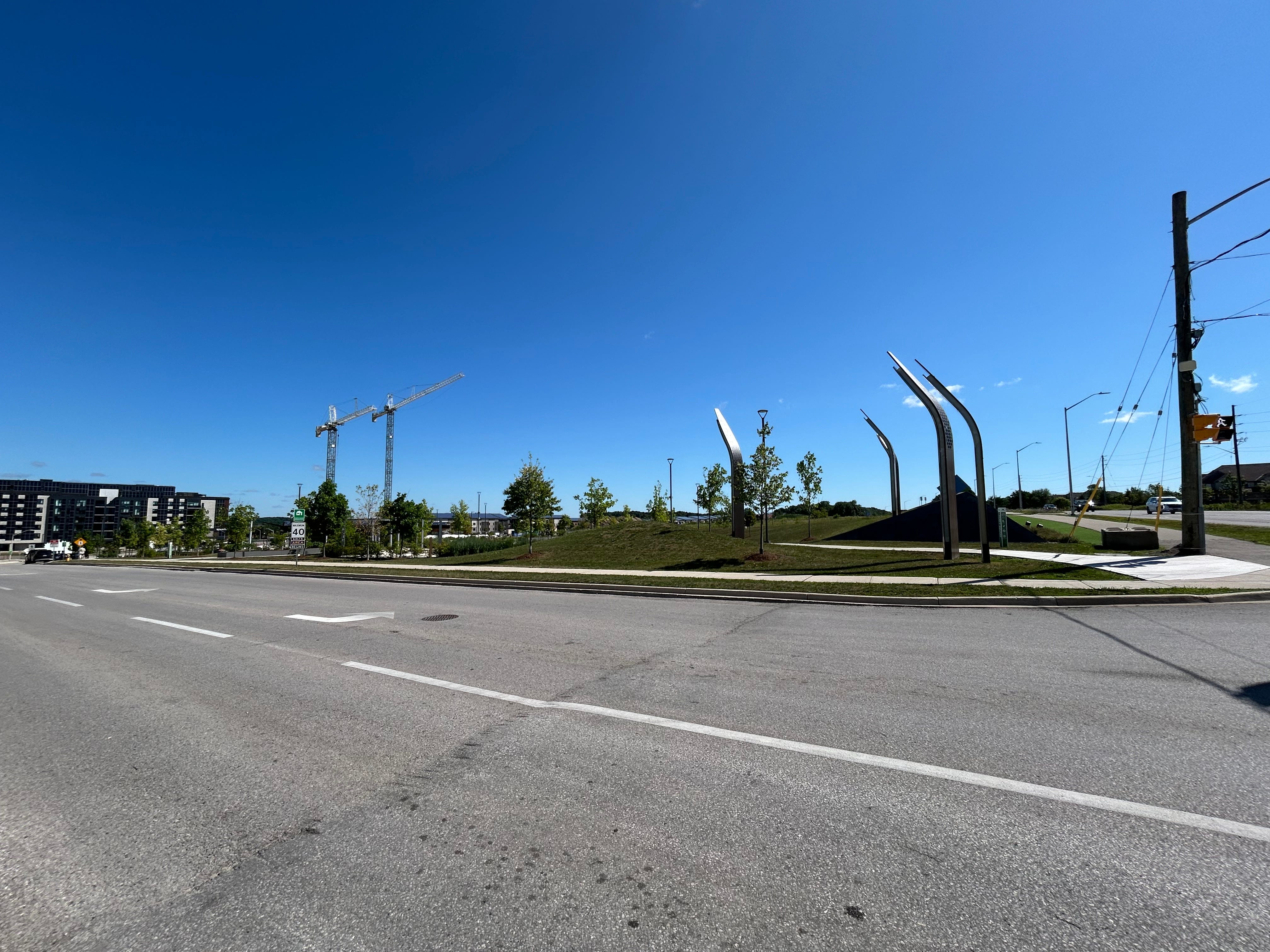
This area takes its name from the bend in the Thames River, which forms the boundary between London and Middlesex Centre. Two major developments define the area: Riverbend Golf Community and West 5. Both were, and continue to be, developed by Sifton. Riverbend Golf Community is a gated community that allows residents, all of whom are over the age of 50, to enjoy the game of golf. Within the community is London’s newest golf course, which was first constructed in 2002.
The bridge extending Oxford Street West over the Thames River came the following year, bringing a new way to showcase the area to Londoners.
West 5 started development a decade ago, centering on a new collector road named Riverbend Road. It is likely the first thing that comes to mind for many Londoners when thinking of Riverbend. This community touts environmental sustainability as a characteristic, owing to its building of solar energy systems that power the community, electric vehicle chargers, composting programs, and community gardens cited as amenities. And many of its buildings are mixed use, with a central park known as Legacy Square, located on Riverbend and Oxford Street.
That development, as well as other commercial centres in the area, have been home to businesses that relocated from elsewhere in the city and county, as well as second locations of existing restaurants that offer dine-in service for the first time.
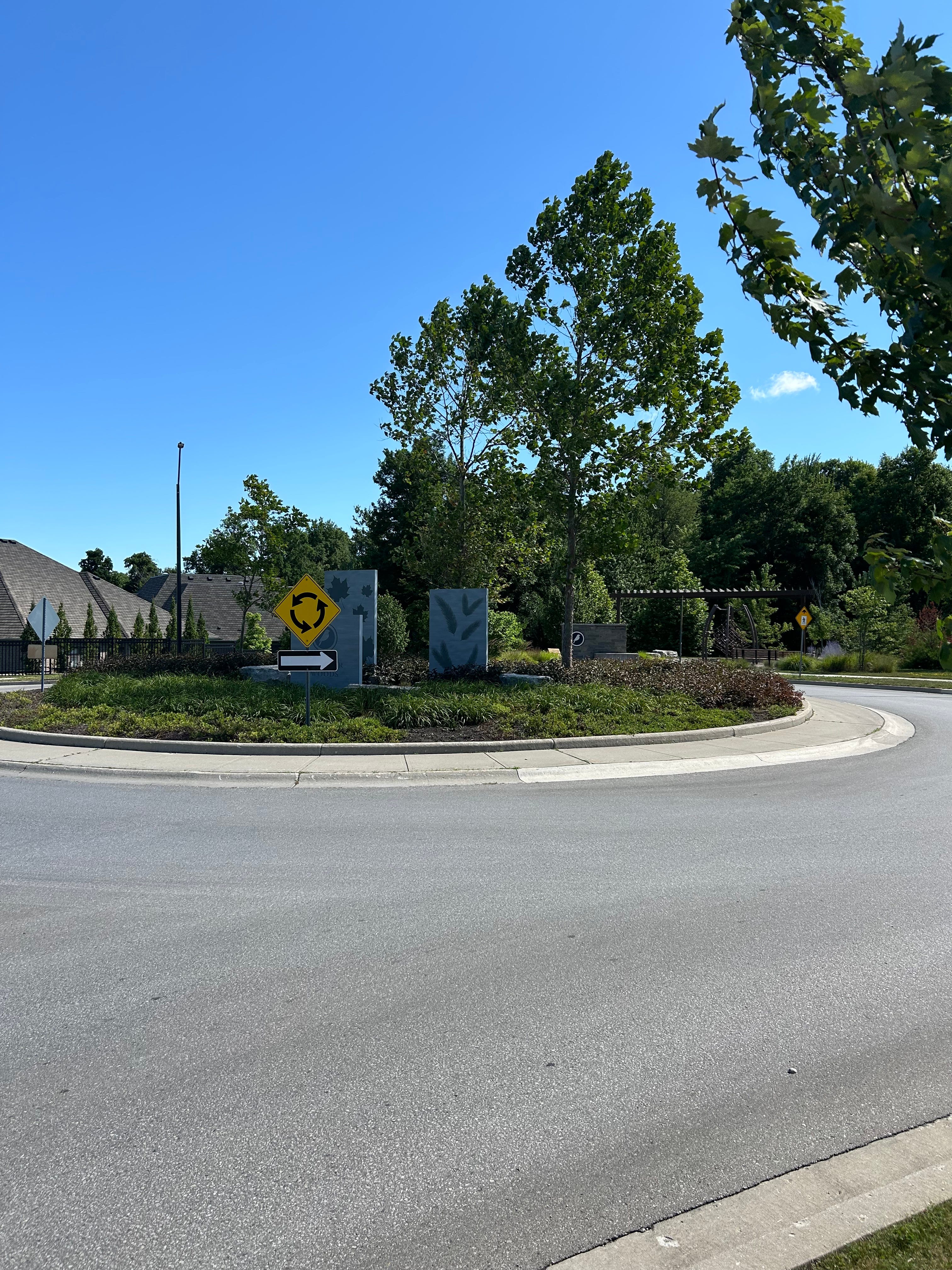
This district is also home to Kains Woods Environmentally Significant Area, at the northern tip of Westdel Bourne. The wooded area stretches to the Thames River, part of which doubles as London’s city limits. It is my favourite place to be in Riverbend and I cannot wait to go back.
Woodhull
Cedric writes
On the other side of Westdel Bourne is the Woodhull district. There is a little bit of development spilling over into what was once the fringes of the old Urban Growth Boundary. But much of it is still a quiet place to be. It is becoming less quieter, the closer you get to Oxford Street. A roundabout opened in August 2025, connecting Oxford with Kains Road, and Gideon Drive. The westernmost section of Oxford Street remains two lanes wide, but you hear calls around the watercooler from Londoners and Middlesex County residents that Oxford should be widened. (Current widening plans stretch as far west as Westdel Bourne)
Also in this district is the Plunkett Estate, the home of local philanthropist Steve Plunkett. His estate has hosted countless gatherings over the years like Fleetwood Country Cruze-In and Pawlooza.
On the way out of the city, (or on the way in, if you’re a county resident), there is an access road off of Oxford Street for businesses and residents. In the island between the access road and Oxford Street, there is a sign indicating that the area is known as Old Kilworth Village. It is one of those little things where you are rewarded for being present on your journey.
Byron
Cedric writes
Many Londoners access Byron from two scenic routes. One is Springbank Drive, which is like a leafy tunnel between Commissioners Road and the Civic Gardens. It is easy to forget that you are in a large city like this when you are on this section of Springbank.
Commissioners Road is the wilder of the two. The steep and twisted grade known as Snake Hill is like our Canada’s Wonderland at home. I’ve enjoyed going down this road on a bike. The ride (or walk up), not so much. There are plans to develop the area around it, now that the Byron Gravel Pit has been decommissioned. Commissioners Road is also set to be realigned in the long-term, to route around Snake Hill.
Boler and Commissioners is one of the many great intersections of the city. You can walk down the street and by happenstance, bump into somebody you know. A few of my favourite restaurants are along that block west of Boler Road. At the end of the block is the Byron Memorial branch library, which has a great selection of local history books.
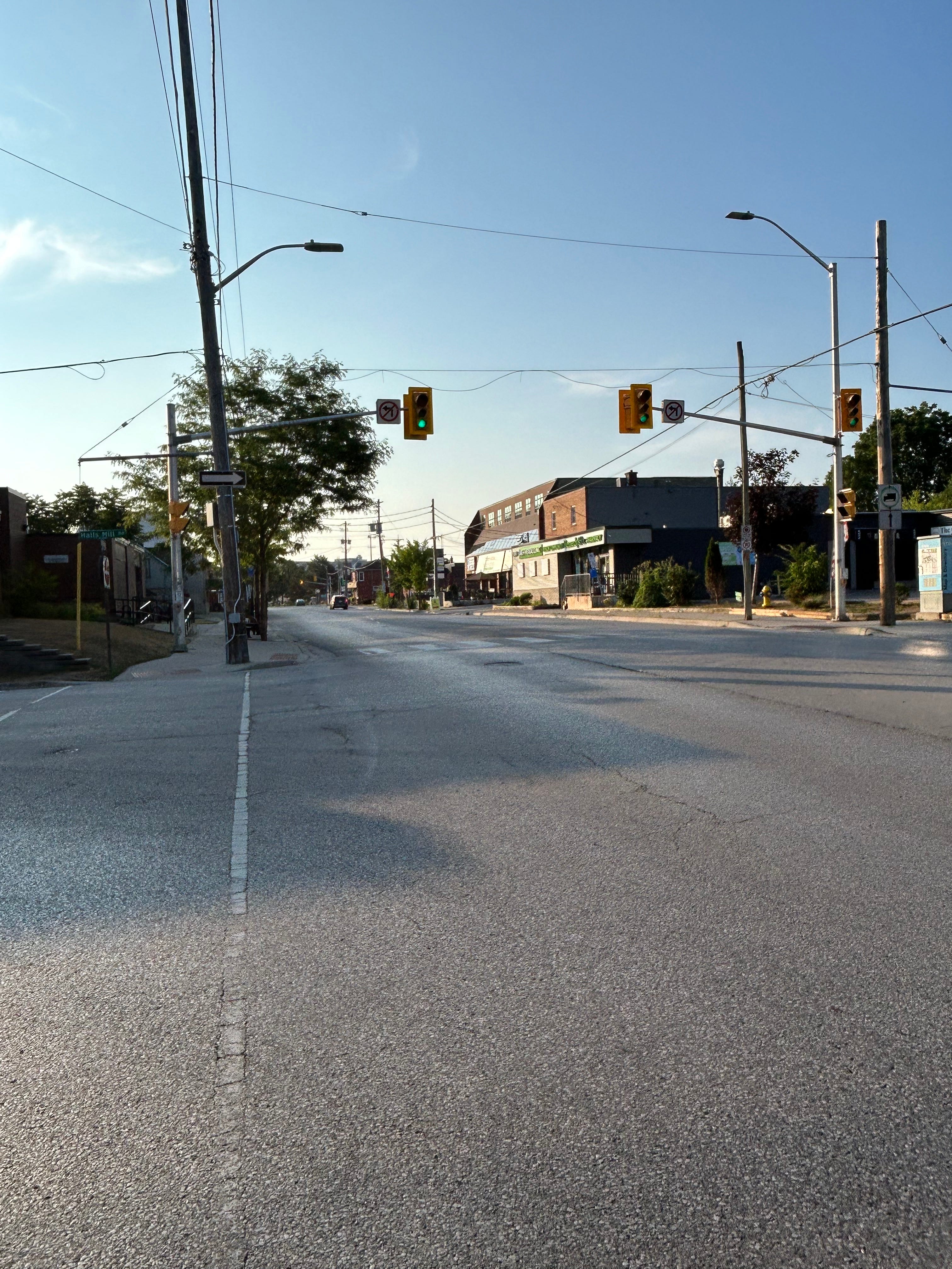
As Byron has become very much integrated with the rest of London since its annexation, it has faced a lot of development pressures since then, and in turn the community communicates its concerns with each project. Commissioners Road has been front and center for most of them; many houses have been converted to mid-rise and high-rise apartment buildings. Reservoir Hill’s very contentious planning application also figures into our current reality; Anna Hopkins was elected to City Council in 2014 after having taken part in opposition to the now-On The Park apartment building on Springbank Drive.
Talbot Village
Cedric writes
This neighbourhood has been interchangeably known as North Talbot, Talbot, and Talbot Village which sometimes gets confused with the “Talbot” area near the downtown core, but for clarity purposes, we will call it Talbot Village here.
A lot of the street names in this area have colonial and military connotations, which relates to the namesake, Thomas Talbot being a colonial administrator. The most obvious ones are Settlement Trail, Pioneer Parkway, Frontier Avenue, and Upper Canada Cross. Filling it the neighbourhood are names of township municipalities along Lake Erie. It really made sense that Romney Lane was not named after Utah’s erstwhile senator, but the former township now located in Chatham-Kent. Also in the area are Raleigh Boulevard (in Chatham-Kent), Maidstone Lane (now in Lakeshore), Bayham Avenue (in Elgin County), Tilbury Lane (split between Chatham-Kent and Lakeshore).
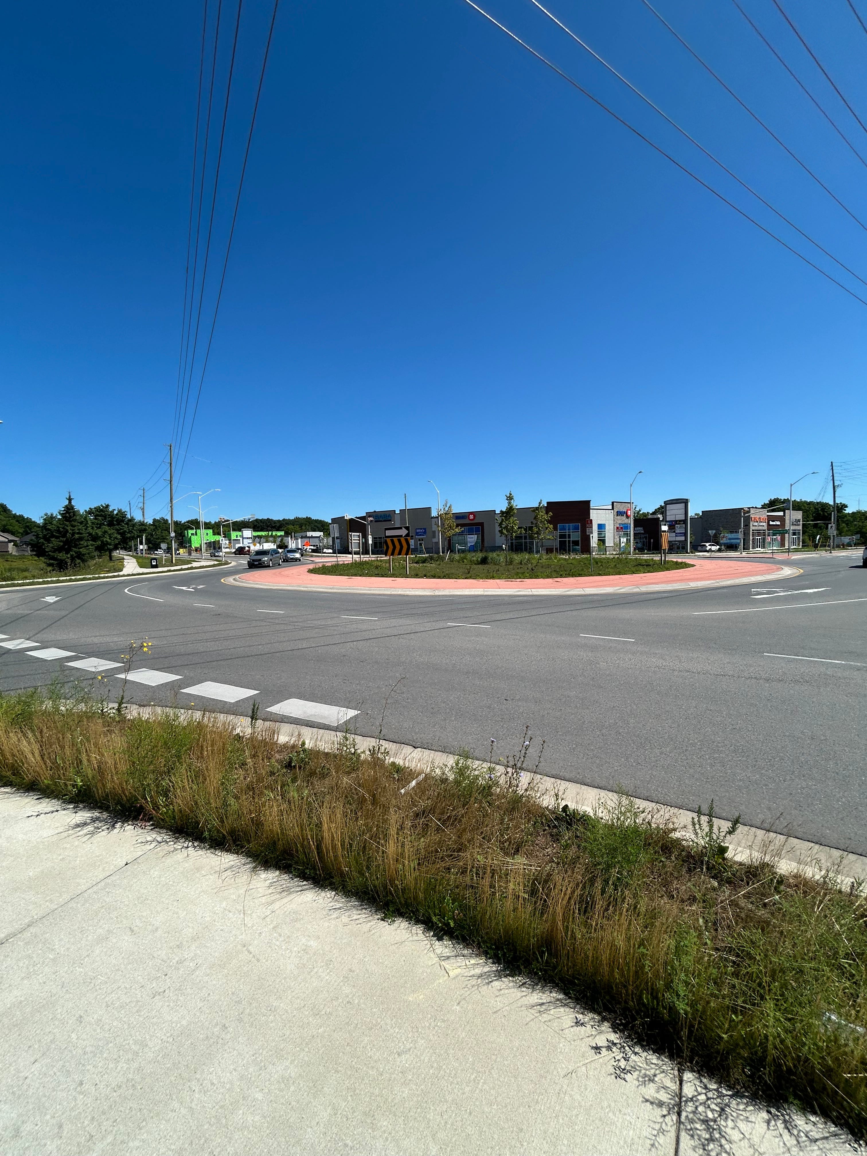
A roundabout was constructed at the main intersection of Colonel Talbot Road and Southdale in 2024. It has been fairly easy to navigate as a cyclist and a driver. This also connects to the multi-use path that was recently installed along Colonel Talbot that connects Talbot Village to Lambeth. It should serve as a reminder that as many people want to live in the west end, a variety of options should be available to help people get around their communities.
One large development that was recently approved was the 4,000-home development at 6309 Pack Road, bringing Talbot Village and Lambeth closer together. The vote at council was 9 to 5, and a lot of area residents had thoughts about it, virtually all opposed to it. There are times when I sympathize with that sentiment, but I do wonder if the reactions were the same when their own subdivisions were built, many years ago.
Lambeth
Cedric writes
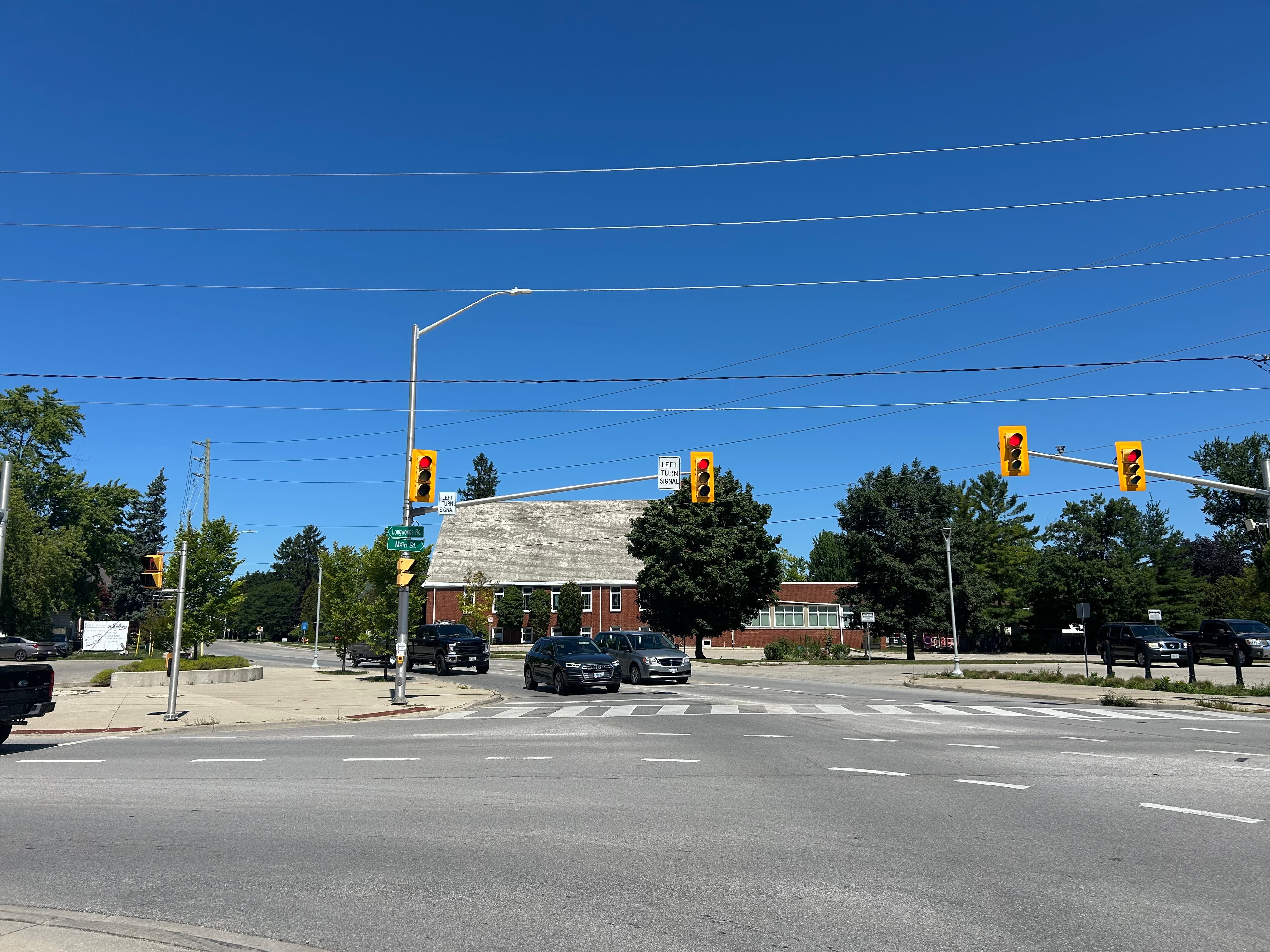
Lambeth is another one of those distinct societies in this ward. It’s known as the village at the crossroads, specifically Longwoods Road and Colonel Talbot, two very storied roads with strong identities in this province.
We always talk about the concept of Main Street. Generally refers to the principal artery of a community. London did not have one, in name, until it annexed Lambeth and area in 1993. Main Street is a nice place to be on, since it was reconstructed a few years ago. I always look forward to a sandwich at Spicer’s or a breakfast at the Village Pantry. When I briefly worked in Lambeth before the pandemic, I would regularly treat myself to Makira Sushi. There are a lot of great places on our very own Main Street.
The community organizes an annual Harvestfest every September after the school year starts. The first edition occurred in 1979, and given that the COVID-19 pandemic upended all of our plans, it will be celebrating its 45th Harvestfest weekend this year.
Lambeth has also faced some development headwinds in recent years, even as MB McEachren Public school closed, leaving Lambeth Public school as the area’s only secular public school. McEachren has since been converted into a health and wellness center, which faced some opposition when it first came to city council in 2018. City Council also unanimously approved townhouses adjacent to that site last year, much to the chagrin of vocal neighbours.
Elsewhere, 2500 Main Street was converted into a townhouse complex, a once rare but now increasing occurrence in this neighbourhood.
Sharon Creek
Cedric writes
The district of Sharon Creek borders the former Township of Delaware. My favourite place here is the Lower Dingman Creek Environmentally Significant Area. It is a fun place to go for a hike and lose yourself in nature.
Even in places like this, traffic and the safety issues that come with it, are growing concerns. The tragic death of seven-year-old Dante Caranci in 2024 led to area parents launching the “No Excuses” campaign centred on school bus safety.
Tempo
Cedric writes
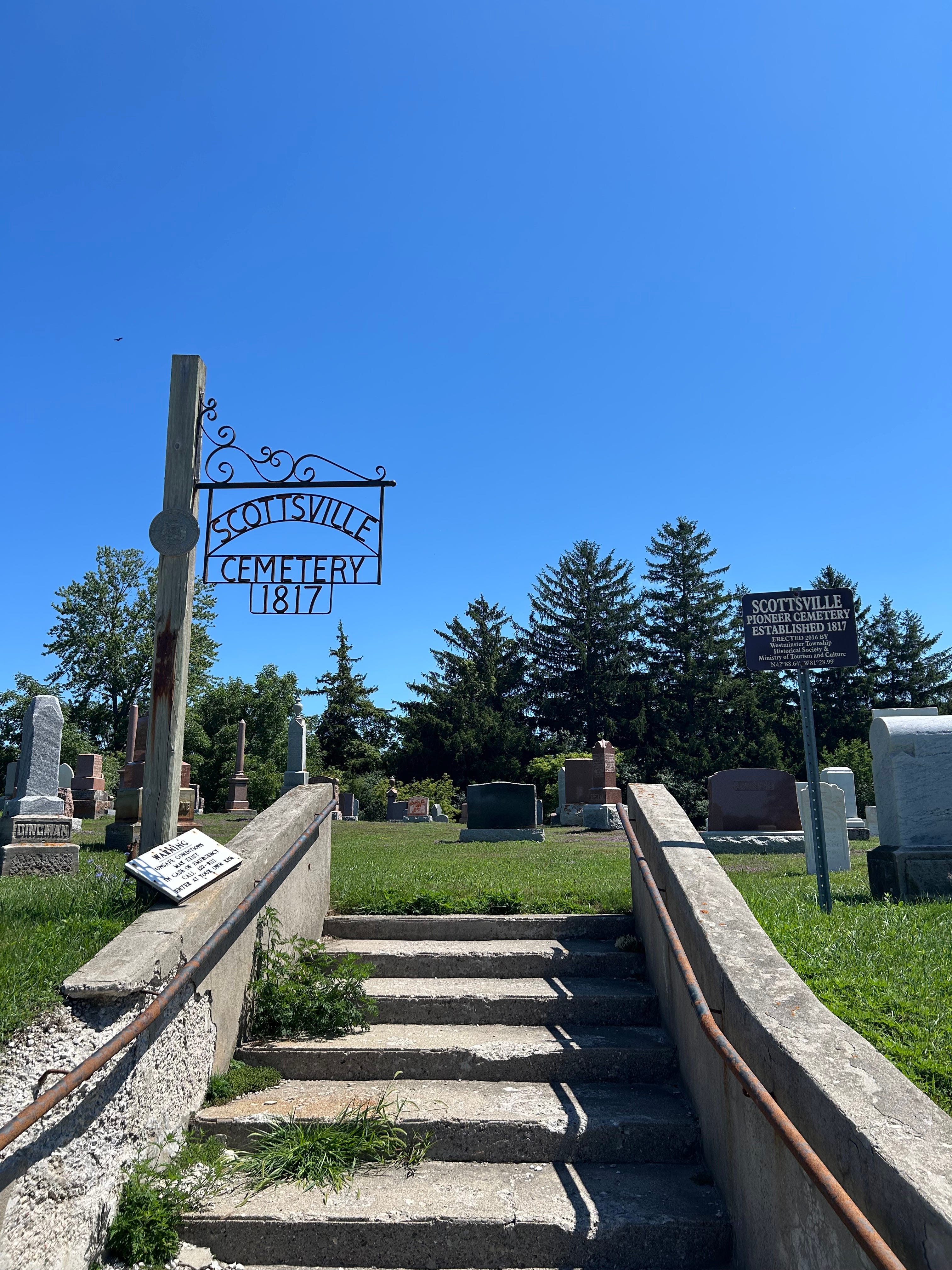
Most Londoners are familiar with this area for two things. When driving to the area, or between Elgin and London, you are greeted with a blue sign along Colonel Talbot Road that reads: City of London - Welcome to Scottsville”. It’s a hamlet where neighbours and industry are next door to each other.
Further along Colonel Talbot is the Thomas Brothers Farm Market. It’s a great place to buy seasonal produce, and other local goods. They have a farm where you can specifically pick out your own produce straight from the source along Orr Drive near the city’s southern limits.
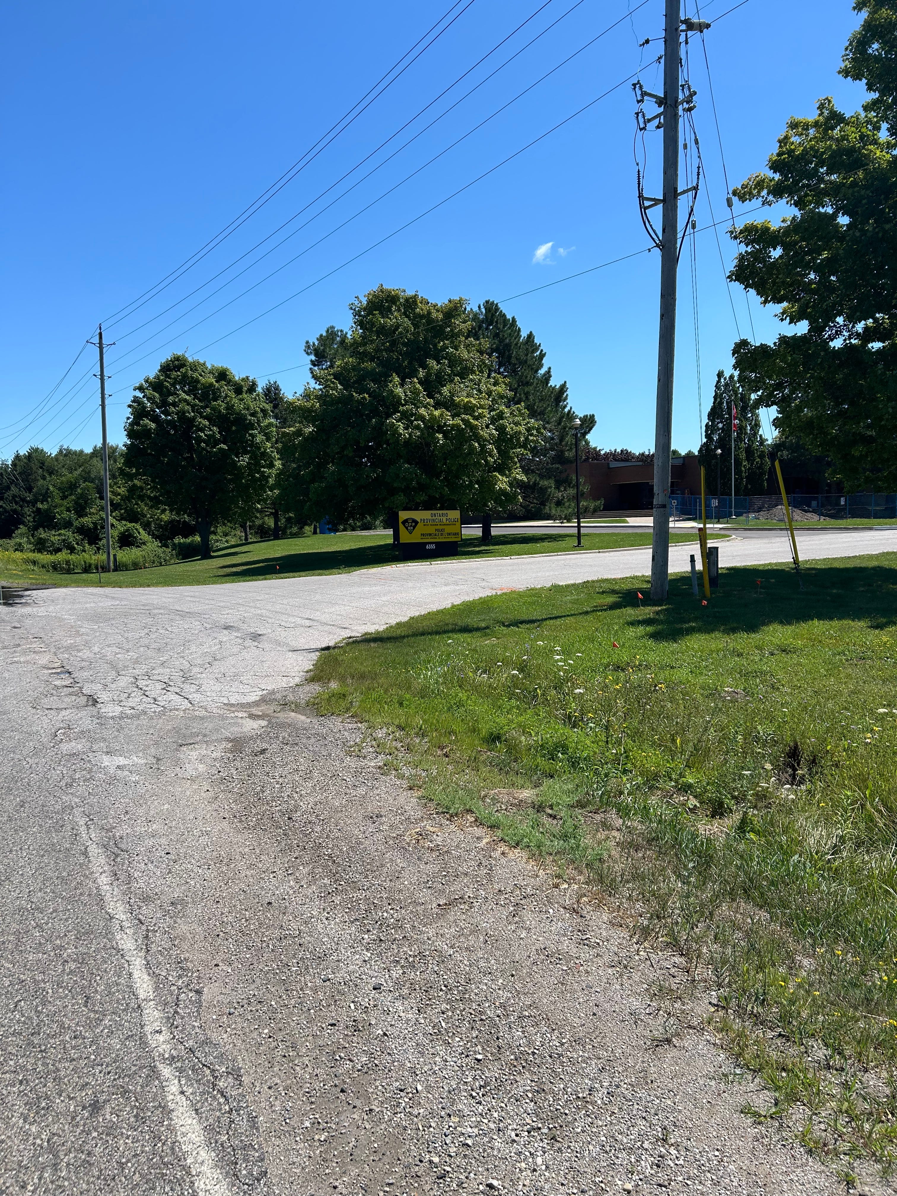
Tempo in Ward 9 was also a centre for all things civic. Westminster had a volunteer fire department, and opened a then-new fire hall at the corner of Westminster Drive and Colonel Talbot Road in 1991. More than a year later, when Westminster was brought into London, the building became known as fire station number 11. 26 years later, in 2017, fire station 11 was relocated to Savoy Street, off of Wharncliffe Road South. The former fire hall subsequently became a training centre for London’s fire department. On the other side of Colonel Talbot Road, there is a low-rise brick building now home to the headquarters of the West Region of the Ontario Provincial Police. The building’s original purpose was the municipal office of the Township of Westminster, where all the major decisions were made for that municipality.
Part 3: Politics of Ward 9
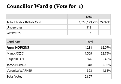
2022 results
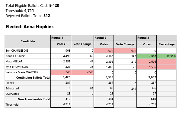
2018 results
2014 results
Mike writes
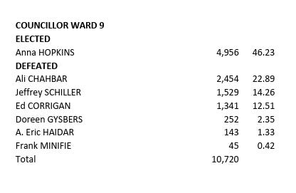
This ward is fuelled by old-fashioned grassroots politics, with an incumbent councillor who came up through planning protests and community action and is now the longest-serving member of council. Look closely at this ward and you will see the strength of Anna Hopkins, who has progressively increased her share of the vote even as disaffection took place across the city - see the declining turnout in most places. Even with a low turnout of 29%, Ward 9 is among the highest, showing the support Hopkins has built up. Last time she had more than 60% of the vote, defeating Mario Jozic, who’s running in Ward 4 this time. And her opponent from two elections ago, Matt Millar, is back among the contenders.
But it’s clear that anybody who wants to unseat this incumbent in this ward of established neighbourhoods had better arrive with a strong campaign.
A full list of Ward candidates is maintained by the City Clerk’s Office here. And you can find a guide to every ward in our MEGAPOST here.
Part 4: In the news
Mike writes
There’s lots to report in Ward 9, with many news stories reflecting the wider city’s own issues. Let’s run through a few.
Cedric mentions that school bus tragedy, and here’s the most recent report on that, with Dante Caranci’s family filing legal action.
Hopkins tried to stop it, but there was approval recently for another tower in the area. Lots of building going on. Here’s a CBC story.
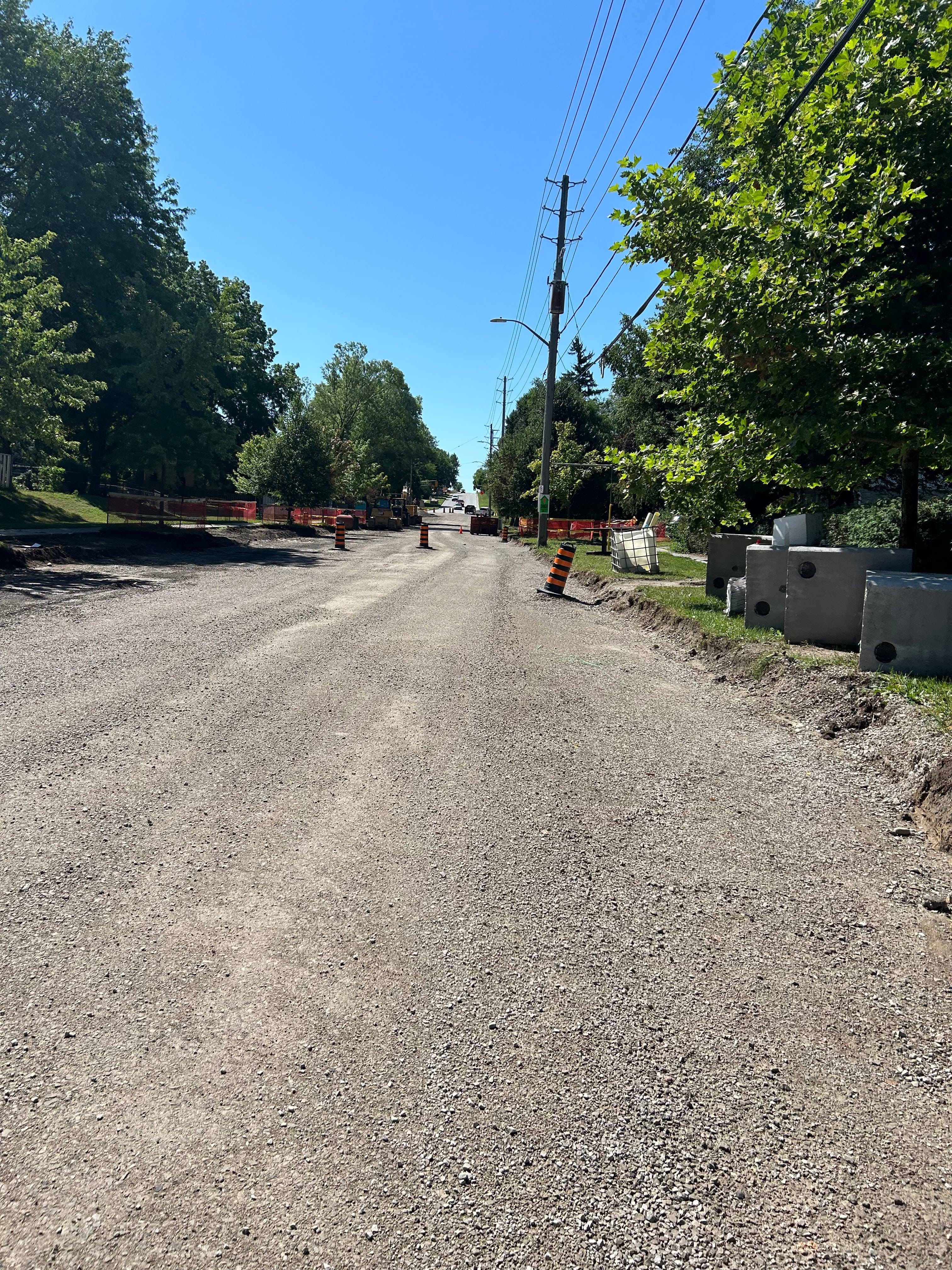
And construction. We flagged this for Loon readers: dig in for Boler construction.
Byron popped up in fireworks discussion when the local Optimists made a change and stopped their Canada Day display. Story is here.
There happened to be a tornado in Lambeth: link.
And the most recent news story related to Springbank Park is a new monument dedicated to veterans, being donated by Byron-Springbank Legion.
Finally, Ward 9 is getting a new Walmart, at the corner of Wonderland and Wharncliffe. Story is here.
Part 5: And there’s more…
Our restaurant pick
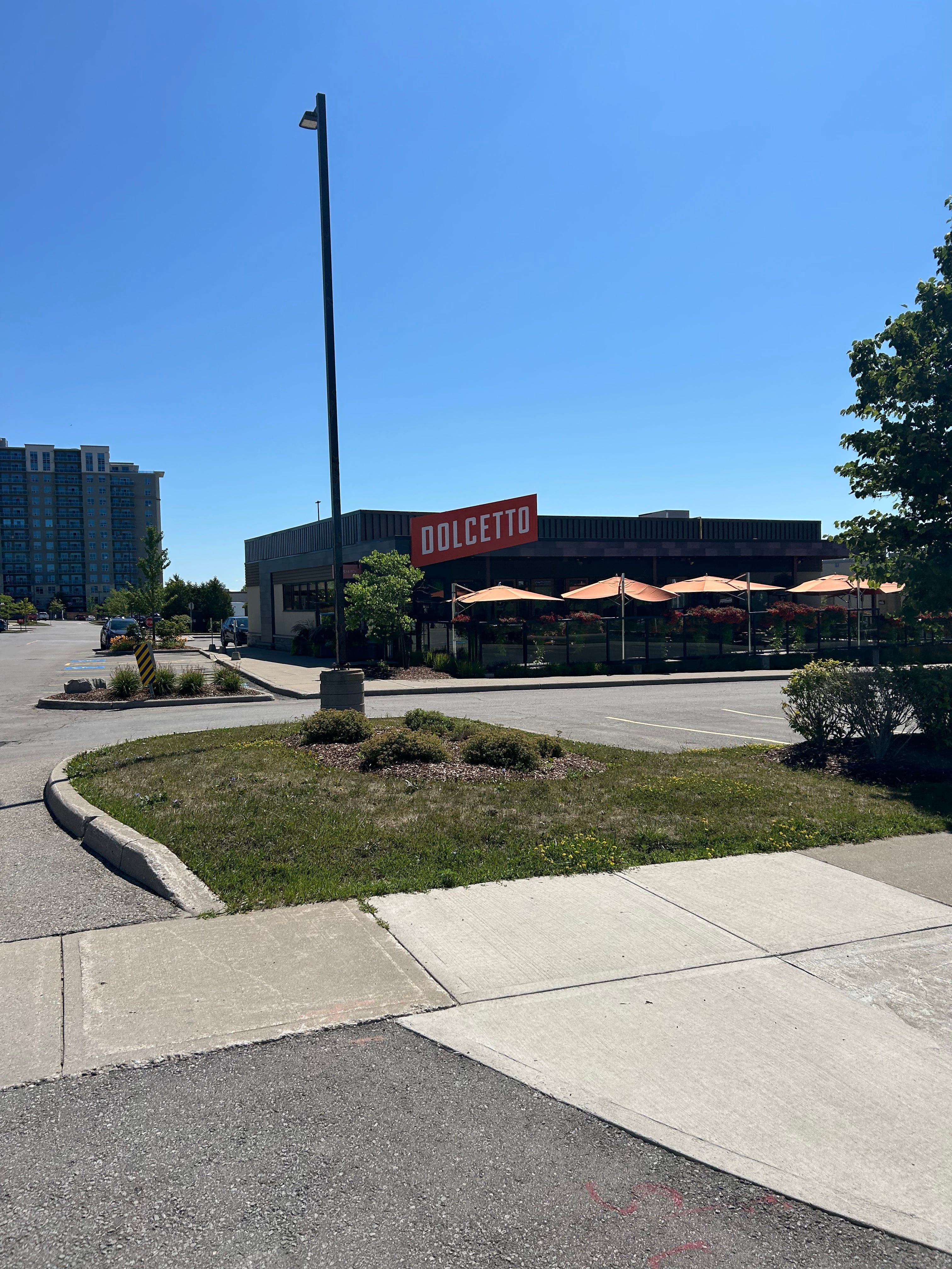
Dolcetto is where you need to visit in this ward. I enjoy Italian food, and a good pasta; this place did not disappoint. I rarely partake in fine dining, and the meal I had here was so good and memorable.
The unmissable landmarks
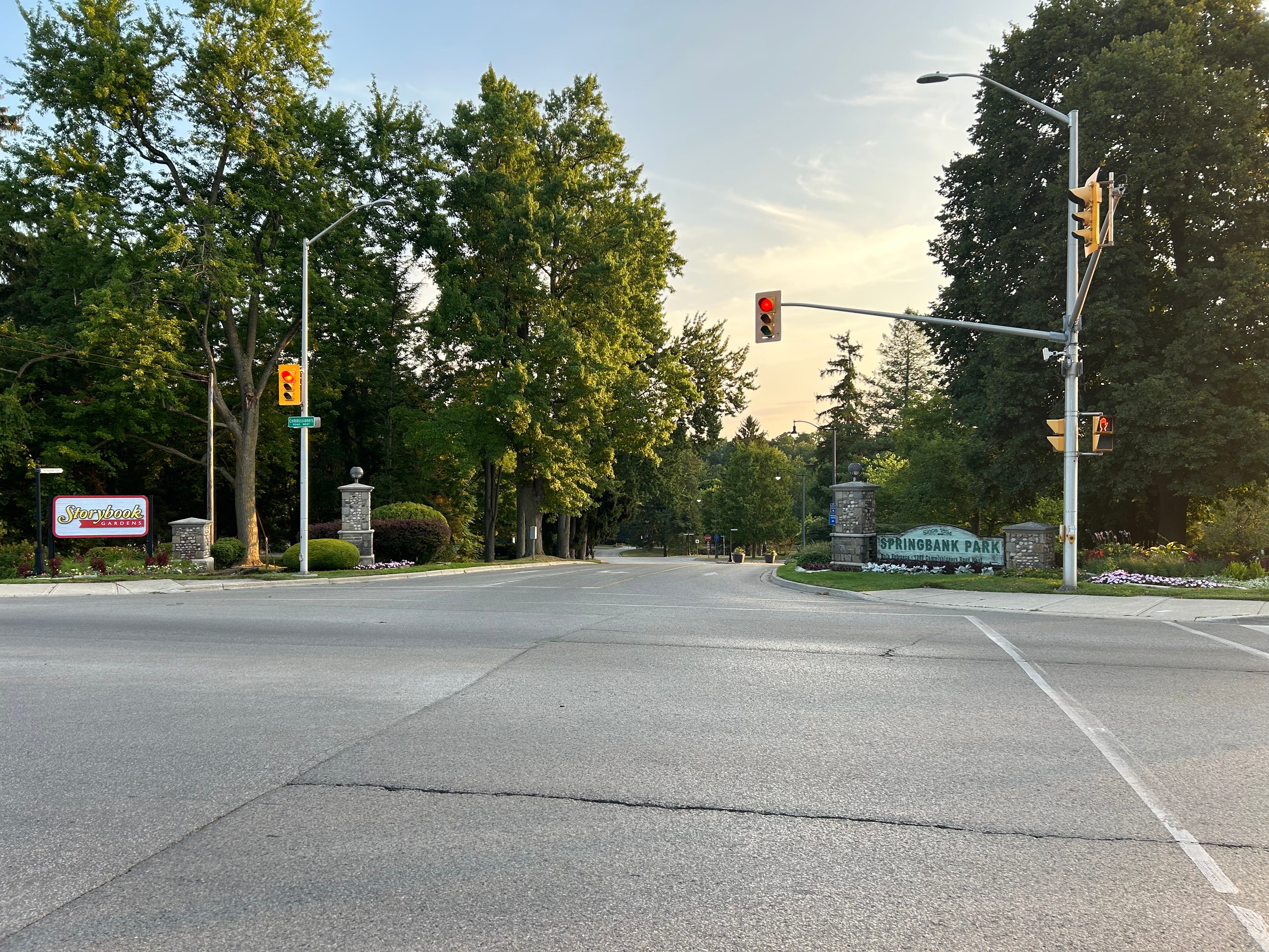
Springbank Park is one of London’s best parks and has 132 years of evidence in backing that up. Ask any Londoner and they will tell you that this is the place to be in the west end. The parkland grew around a waterworks building located along the Thames River. It now consists of a trail system integrated with the Thames Valley Parkway, and Storybook Gardens, an amusement park-within-a-park geared towards younger children.
Until December 2023, the last time I had visited Storybook Gardens was about 25 years prior. That changed when I found out about my former coworker inviting me to a City of London friends and family skating event. It was really fun to skate along the trail with people and slowly take in all the sights and sounds of joy.
It is west London’s oasis, away from all the traffic and commotion of city life.
London’s Highest Point
If you had to guess as to where London’s highest altitude is, it would be understandable if you guessed Boler Mountain. But it’s a good guess - and close! Colonel Talbot, just north of Fourwinds Road, between two Bell Canada transmission towers, is London’s highest point at about 316 metres above sea level. Trees surround this section of Colonel Talbot, but you can peek out and see much of London in a few parts. For a more substantial view of London, I recommend Scenic View Park, located on Ironwood Road near Wickerson Road.
Boler Mountain
This is London’s place to ski and snowboard, and do some tubing too. Founded about 80 years ago as the London Ski Club, Boler Mountain has been a mecca of winter sports as well as mountain biking during the warmer months in this corner of Ontario. It’s a very accessible and affordable place to learn and enjoy these sports, and you can tell by the entrances and exits of the groups of people who come to the hills by the bus schedule.
That’s Ward 9
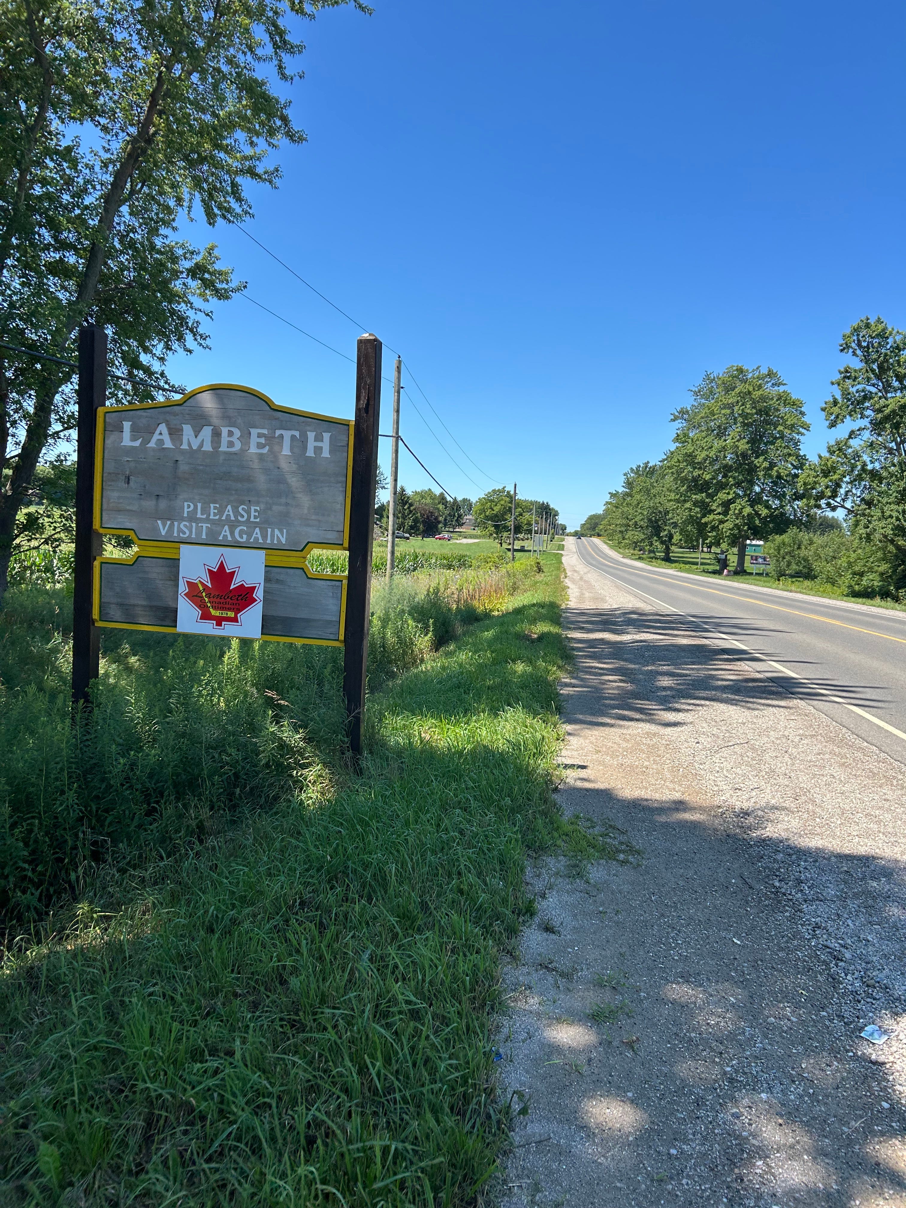
And that’s how we see it. We climbed every hill between the Thames River and the city limits, we had some pricey and memorable meals, and we offer you this guide to what it’s all about.
The Cedric/Mike teamup will continue all summer! We’re looking at all 14 wards, featuring one every Tuesday all the way to September. You can follow along here at London Ontario Online News, where there’s new content every day and we live here, too.
We’d love you to stay engaged and in touch. You can send us any topics you’d like us to discuss, or questions, or most anything else. Thank you - see you soon!